Module 2 Formstorming

Weekly Activity Template

Jiarui Yao/Sunny


Project 2


Module 2

Creative Concept: To us, the power of projection mapping lies not in illuminating space, but in reinventing it. We weren't merely illuminating the walls of a building;

Activity 1

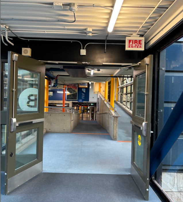
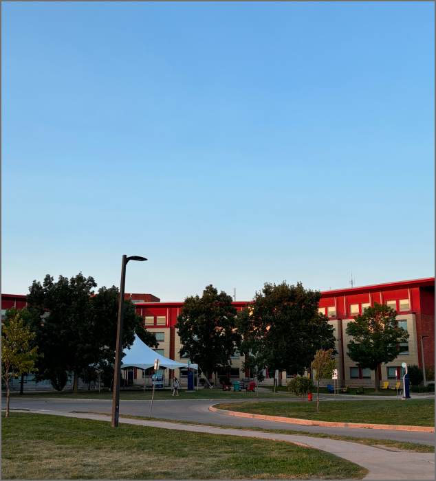
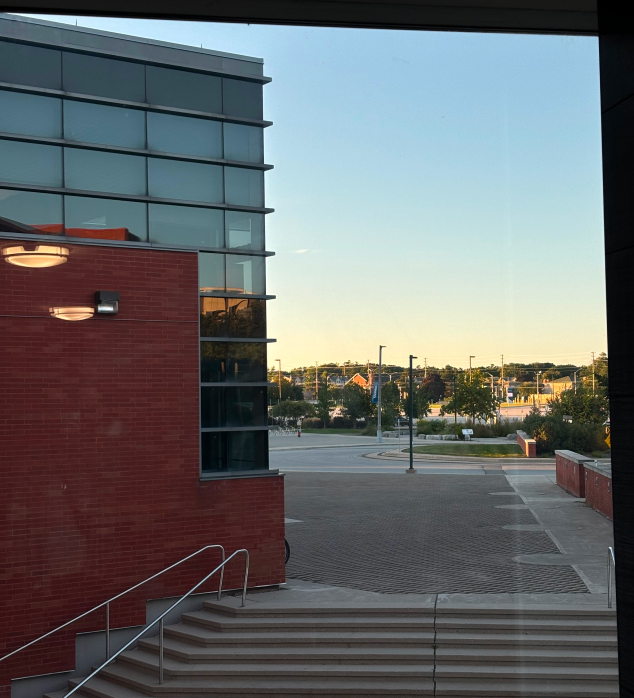
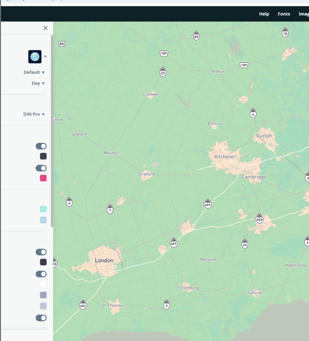
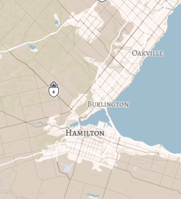
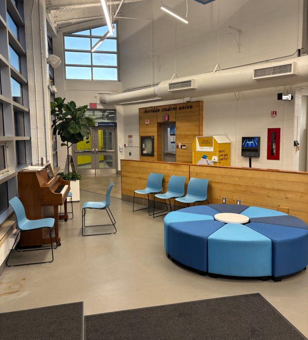
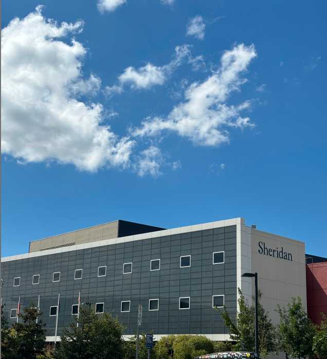
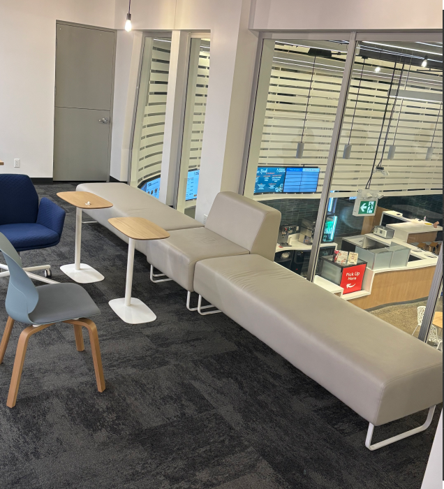
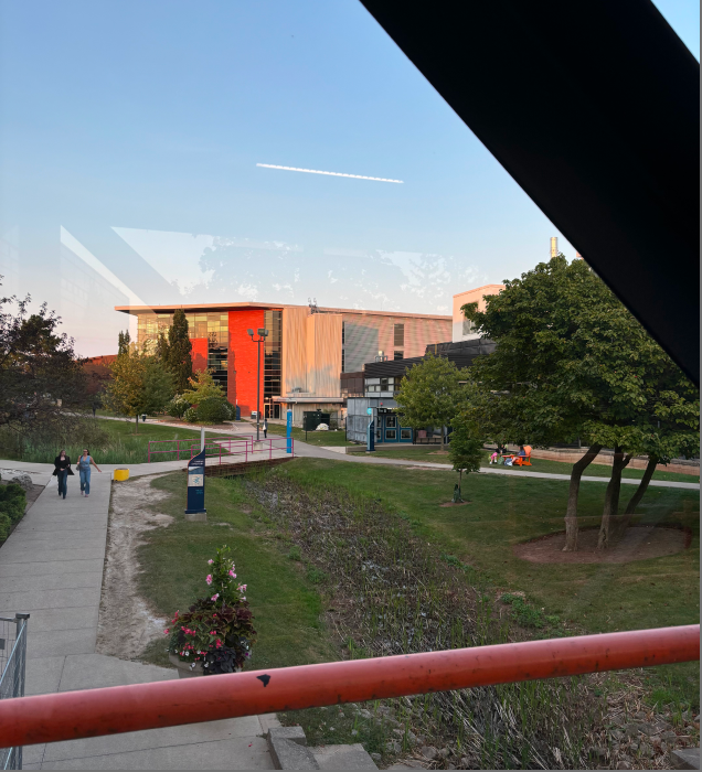
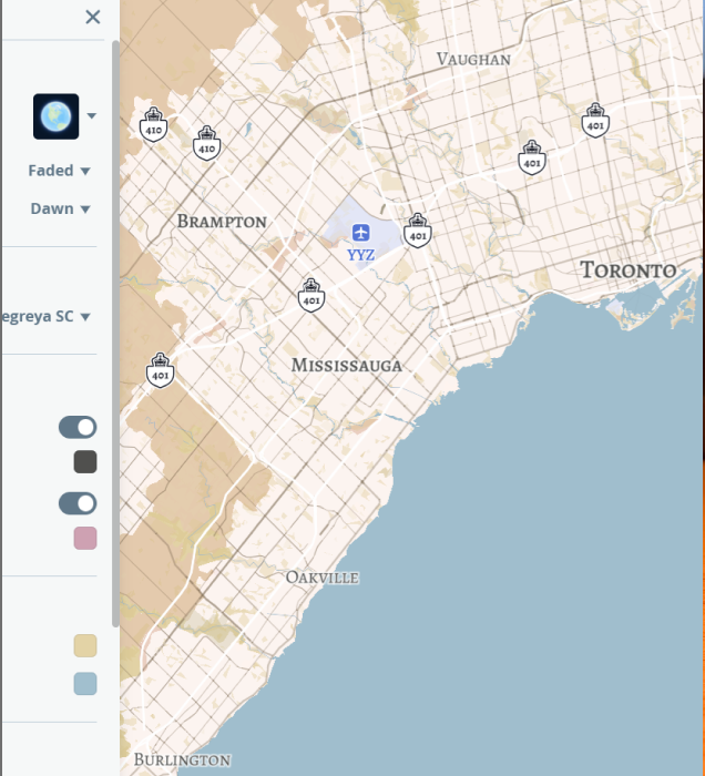
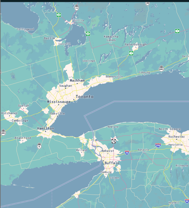
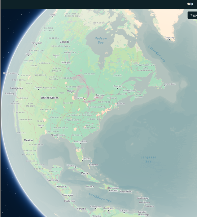
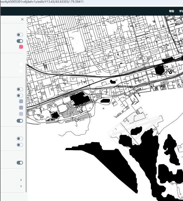
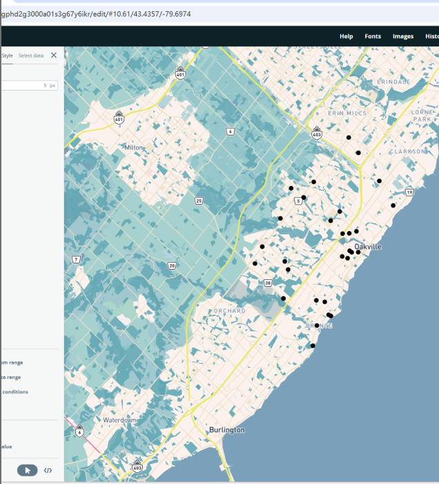
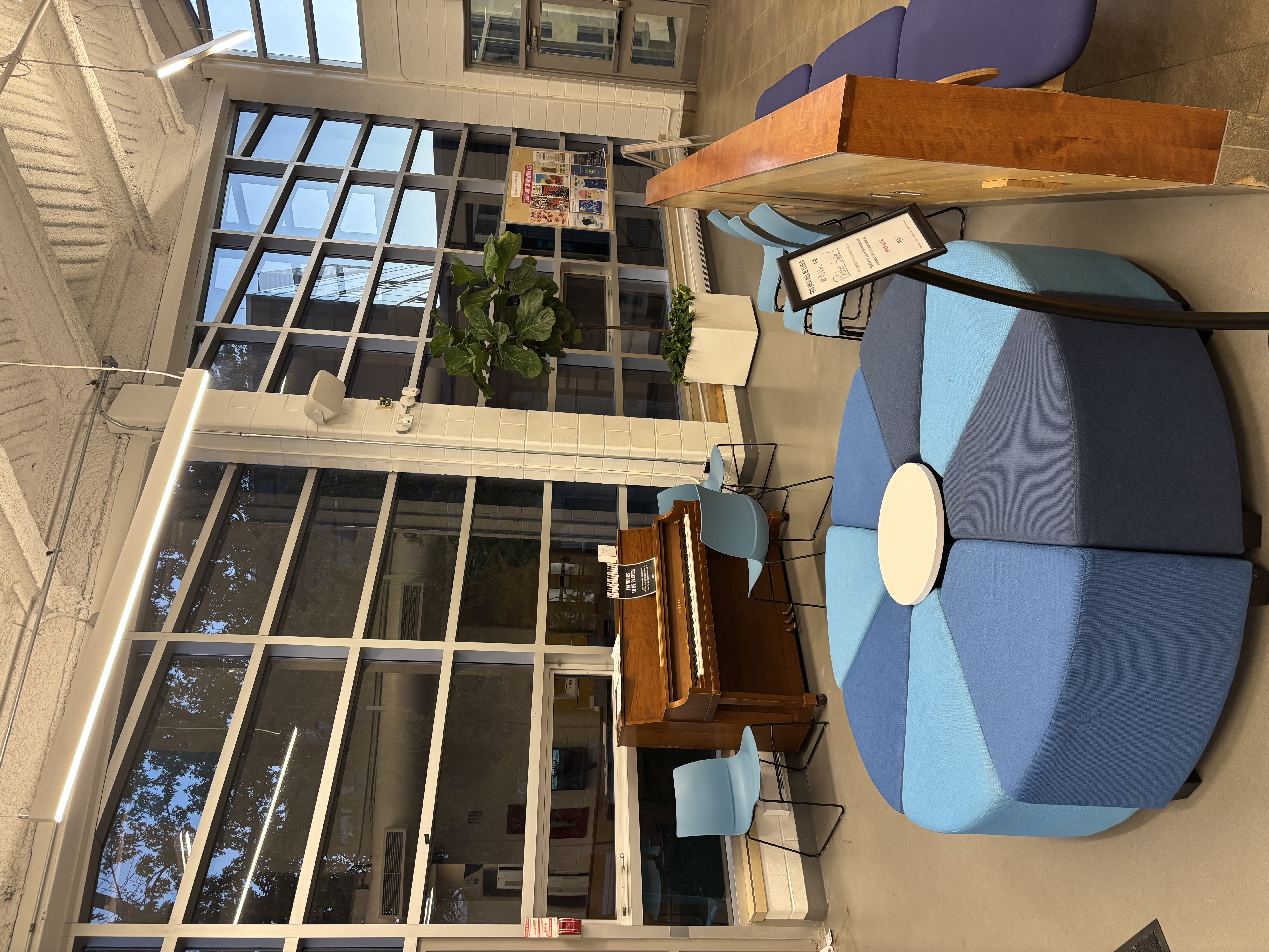
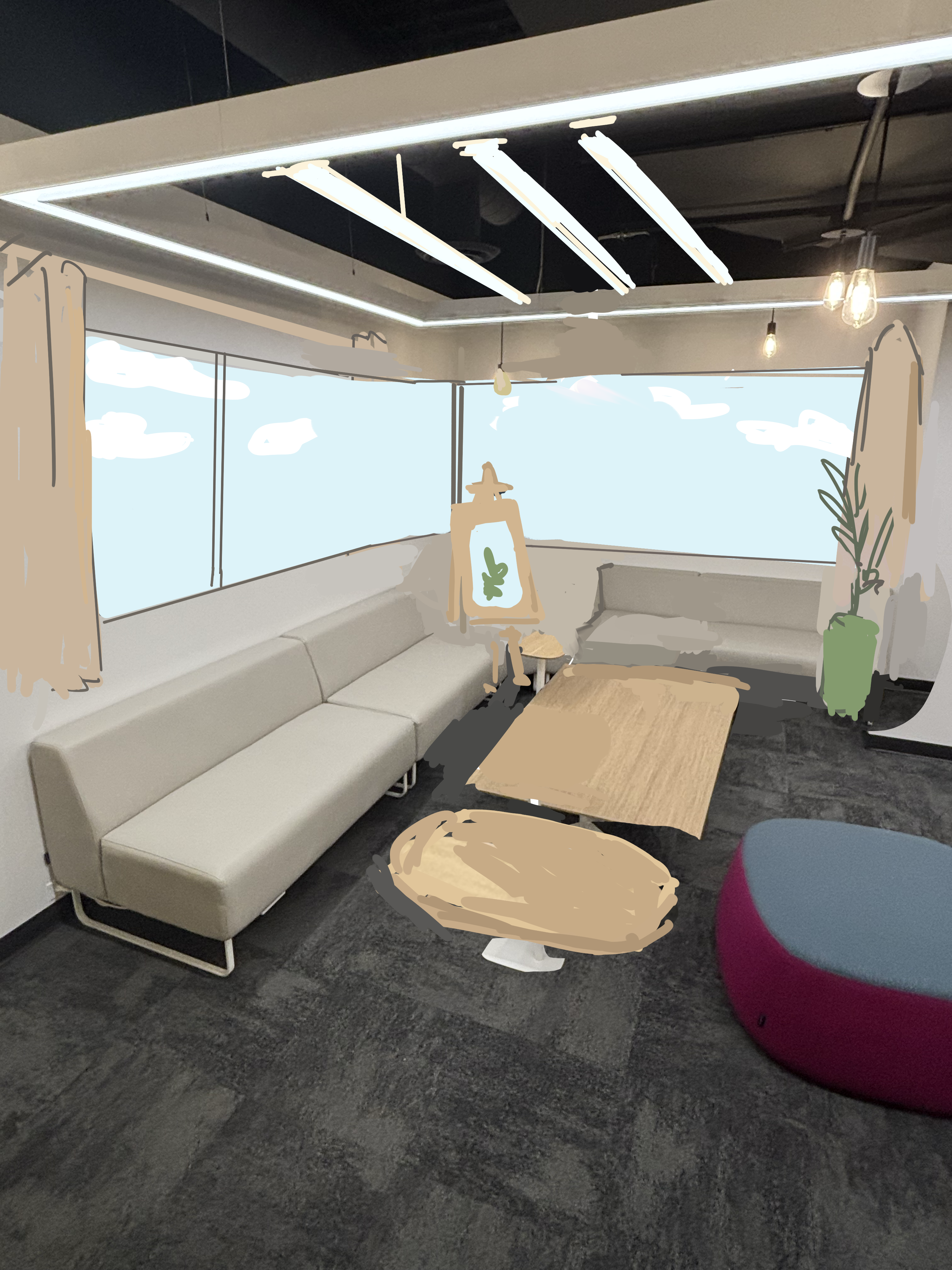
While using Mapbox, I discovered this tool significantly expands the possibilities for presenting spatial data, offering me a fresh perspective on the digital representation of space. Photographing numerous buildings at Sheridan College—from campus recreational areas to off-campus teaching facilities—these real-world scenes made my perception of 3D space exceptionally tangible.

Analyzing these structures, I sought to explore the path from physical space to digital 3D models, realizing that even the smallest spatial details can have a profound impact in 3D design.

The photograph was taken inside the corridor of Building B on campus. The building pictured is the exterior of Dormitory Building 1. The building pictured is the northwest corner of the SCATE building exterior. The image shows a screenshot of the editing area for the location on the Mapbox website. The photo shows a screenshot of the transportation highway area on the Mapbox website. The photo shows a screenshot of one of the map styles available for modification on the Mapbox website. The building in the photo is the exterior of Dormitory Building 1 captured from the third floor interior during a rainy night. The photo shows an exterior view of the connection point between the school's J Building and the glass corridor. This photo was taken in the public lounge area on the first floor of the SSU building. The photo shows the exterior of the school's J Building. The scene depicted in the photo is the public study area on the second floor of the Sheridan School SSU building, near the side with the casement windows. The scene depicted in the photo is the exterior of the SCATE building, photographed from the glass corridor 1 of the Sheridan School B building. The scene depicted in the photo is the innermost corner of the interior on the second floor of the Sheridan School SSU building. The photograph shows a screenshot of one of the altered map styles (Dawn, Faded) on the Mapbox website. The photograph depicts the exterior architectural structure of the school's Dormitory Building No. 2. The photograph shows a screenshot of a test map style on the Mapbox website. The photo shows a screenshot of altered map fonts from the Mapbox website. The scene depicted in the photo is near the windows and doors of the SSU building at Sheridan College. The scene depicted in the photo is a semi-enclosed study area by the window on the second floor of the SSU building at Sheridan College. The photo shows a side view of the school's Dormitory Building 1 under normal weather conditions. TThe scene depicted in the photo is the student lounge area inside the first floor of the SSU building at Sheridan School. The scene depicted in the photo is the northeast corner inside the first floor of the SSU building at Sheridan School.The photo is a screenshot from the Mapbox website attempting to change the font style for map routes. The photo shows a screenshot from the Mapbox website testing changes to the colors of rivers and grass on the map. The photo shows a screenshot of the final edited map on the Mapbox website.

Activity 2

During the Formstorming workshop, I explored the relationship between space and data through three distinct approaches.

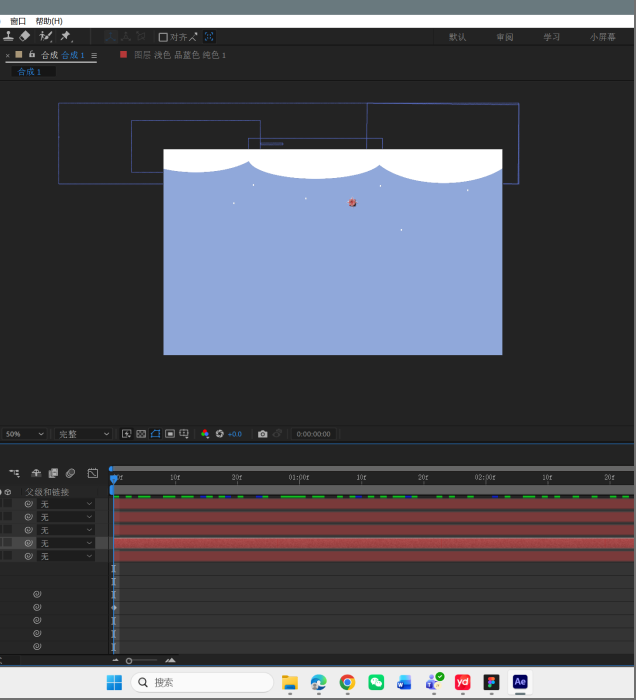
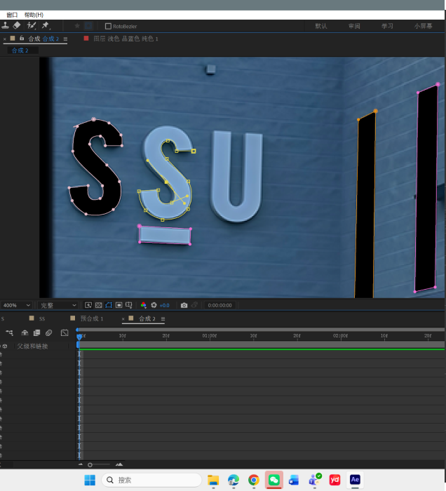
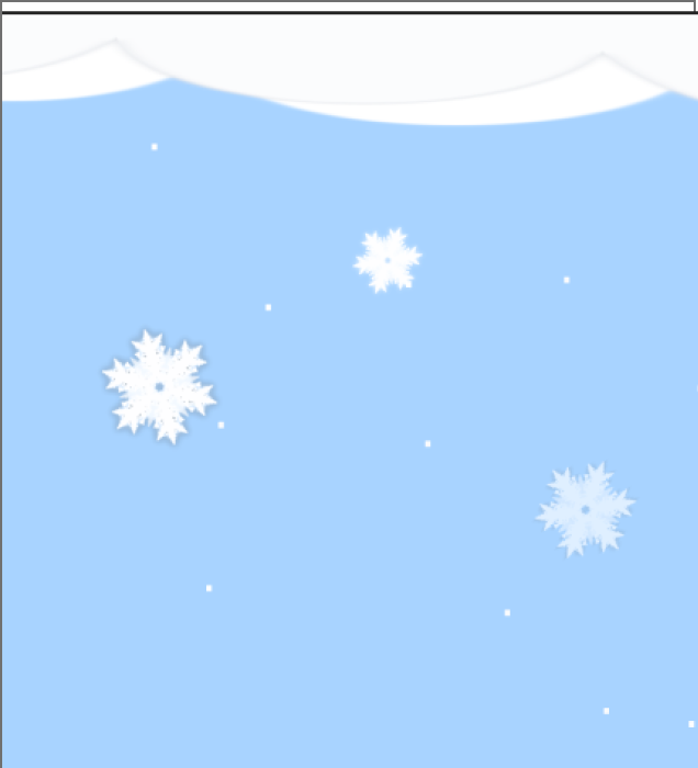
The projected map project transformed a static building into a winter crystal ball. After Effects' corner positioning tool once completely locked my animation, forcing me to abandon complex features due to this catastrophic issue. Instead, I manually animated using solid color layers and the pen tool—a solution that allowed the effects to organically "grow" onto the architecture.

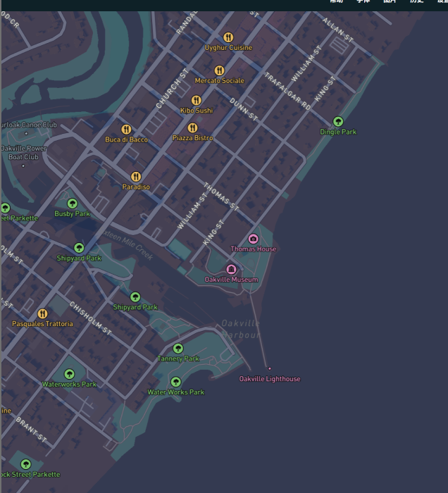
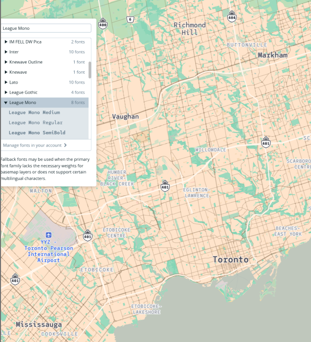
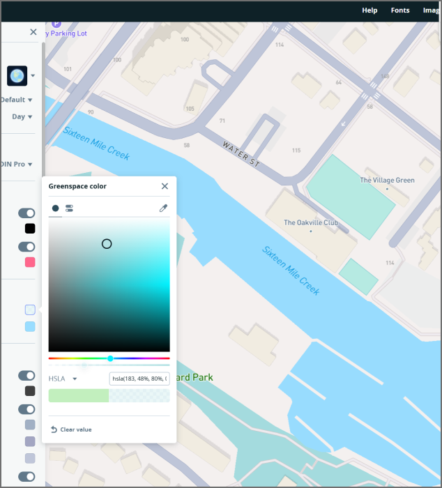
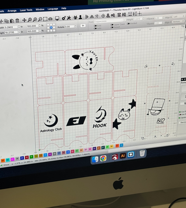
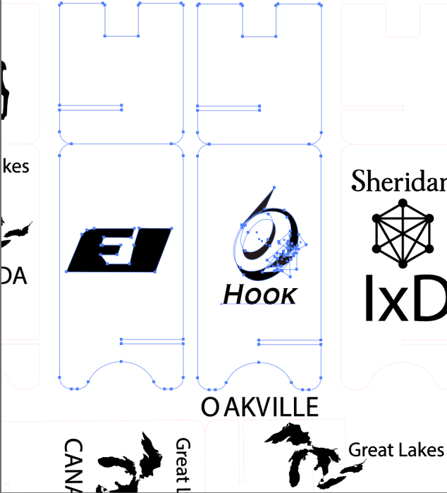
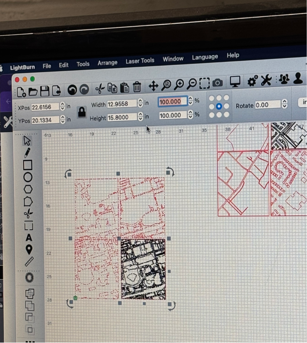
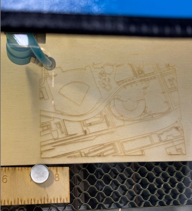
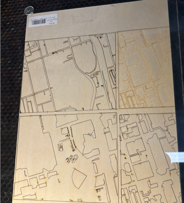
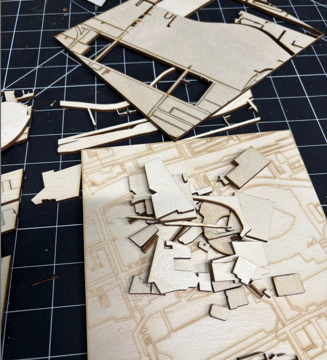
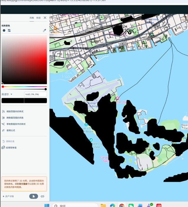
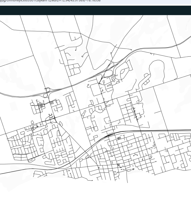
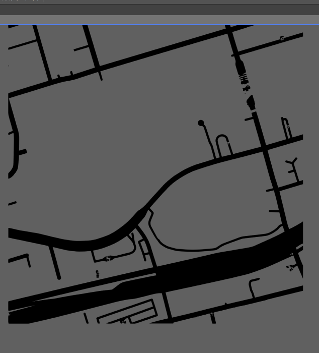
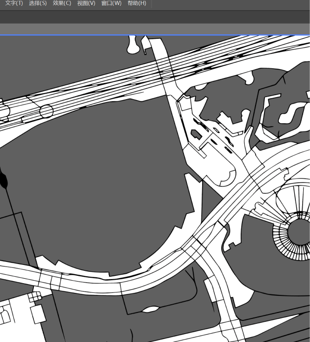
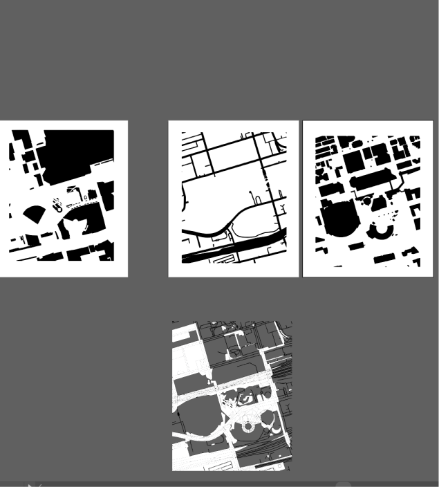
The cardboard cutout project transformed digital maps into tangible objects. Mapbox's default styling stubbornly retained unwanted yellow tones until monochrome mode eliminated all distractions. Adobe Illustrator's tracing function then acted like a precision carving tool, instantly converting map screenshots into paths readable by a laser cutter. Ultimately, a three-layer model centered on the CN Tower was successfully assembled.

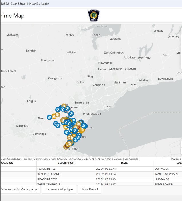
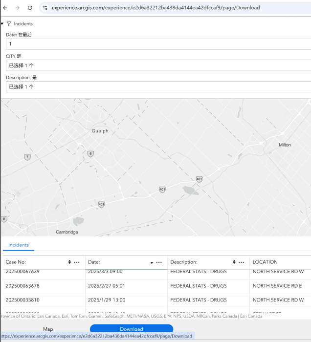
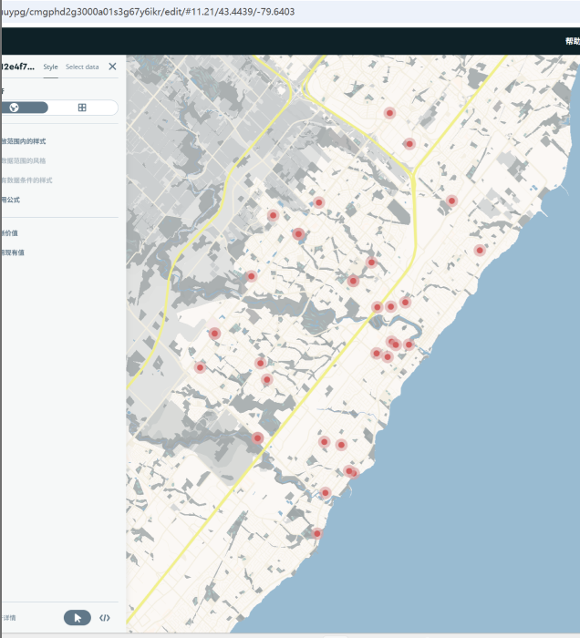
The Binary Data project taught me how to give voice to silent data. Drug incident data from Ontario, sourced from Crimemap, frequently threw errors when imported into Mapbox. It turned out that extra columns in the messy CSV file severely disrupted the software's reading. After cleaning the data and narrowing the timeframe, I deliberately set the data points to a striking deep red, making this severe social issue form an unignorable visual focal point on the map.s

The photo shows the AI format vector file imported into the laser cutting classroom. The photo shows a screenshot of editing two logos for wood panel cutting using AI software. Photo shows the combined front view of the final F1 racing official logo style and F1 racing official logo style phone stand. The image shows the interface for processing map vector graphics within AI software, featuring red map line designs. The image depicts the laser-cutting process of a wooden map, with the tool working on intricate details.  The image displays the completed laser-cut wooden map, featuring layered structures like buildings and roads. The image shows laser-cut wooden map fragments, which are components of the map. The image shows a color-coded geographic data map in Mapbox, illustrating regional distribution. The image shows a black-and-white line road map in Mapbox, emphasizing the transportation network. The image shows a black-and-white geographic area map in Mapbox, presenting terrain structure. The image displays a black-and-white vector map of roads and regions within AI software, presenting geographic structures. The image displays a vector map of complex road networks within AI software, highlighting transportation layouts. The image displays a vector component map of multiple black-and-white geographic regions within AI software, used for spatial modeling. The image displays an SSU building model in AE software, using edges to define the projection area for the blue sections. The image captures the exterior of the actual SSU building as a reference for the projection base map. The image shows the timeline interface in After Effects software, featuring a 4-second animated snowflake effect. The image shows the The image displays the building projection animation interface in After Effects, presenting spatial effects. The image shows the The image displays a 4-second snowflake animation I created in After Effects, incorporating snowflake close-ups and text elements. The image displays the map interface of drug overdose data in Ontario from the crimemap website, presenting the distribution of data. The image displays the list interface of data on the crimemap website, used to collect drug overdose data in Ontario. The image displays a map interface with data points in Mapbox, used for binary data visualization. The image shows Mapbox with altered data point colors and map colors to facilitate binary data reading. The image displays the data resources interface on the official Canadian government website, used for data investigation reference.

Spatial Workshop 1

The scene depicted in the photograph is located in the northeast corner of the first floor interior within the SSU building at Sheridan School. It includes a pool table for student relaxation, a television, a decorative plant, and numerous chairs.<a href='https://www.youtube.com/embed/tgbNymZ7vqY' target='_blank'><p>Project Video Link</p></a> The photo was taken in the public lounge area on the first floor of the SSU building at Sheridan School, near the windows and doors. It features a piano available for playing, seventeen or eighteen chairs, and a decorative plant. <div class='container'><iframe class='responsive-iframe' src='https://www.youtube.com/embed/tgbNymZ7vqY'></iframe></div> The scene depicted in the photograph is located in the innermost corner of the second floor interior within the SSU building at Sheridan School. This is an open study and discussion area accommodating multiple people.

Spatial Workshop 2

The space embraces a fresh, artistic aesthetic. Large windows with light-colored curtains flood the room with natural light, while easels and greenery add artistic flair. Comfortable sofas and wooden furniture create a cozy environment perfect for leisurely creation and artistic exchange.
 <a href='https://www.youtube.com/embed/tgbNymZ7vqY' target='_blank'><p>Project Video Link</p></a> Designed for audiovisual relaxation, this space features a projector and screen. Sofas surround the viewing area in a simple, functional layout ideal for movie nights or small gatherings, delivering an immersive audiovisual experience. <div class='container'><iframe class='responsive-iframe' src='https://www.youtube.com/embed/tgbNymZ7vqY'></iframe></div> Warm and atmospheric, this area supports study group discussions via projector. Star-shaped string lights add whimsy, while additional seating expands leisure options, creating a cozy setting for relaxation, entertainment, and social interaction.

Project 2


Final Project 2 Design

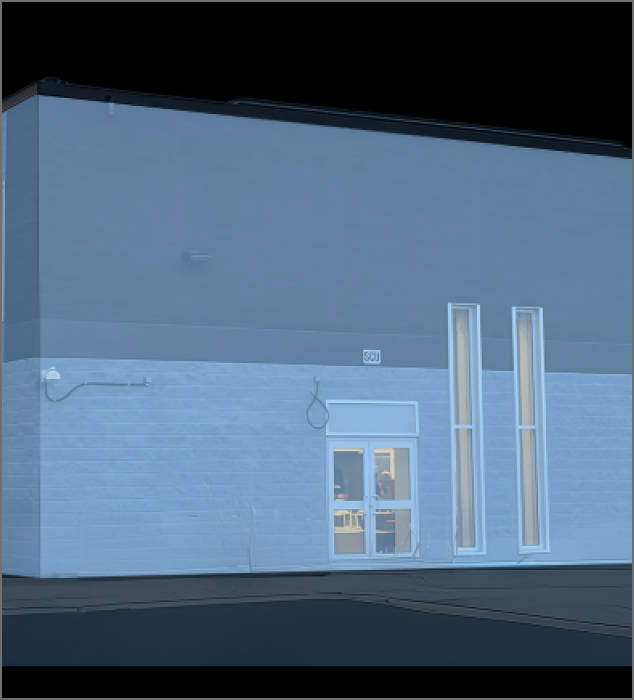
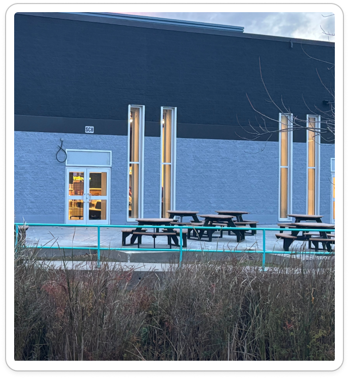
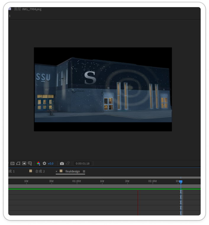
"The Winter Snow Globe"

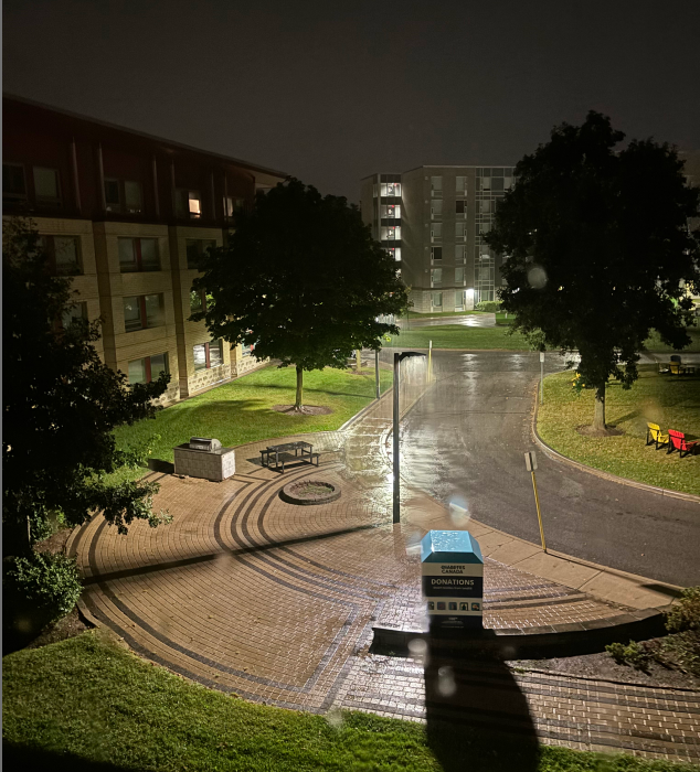
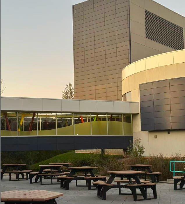
Project Description: This work is an artistic practice in architectural projection mapping. We sought to go beyond simple illumination, transforming a static building facade into a living, strange snow globe. Within this magical space, water ripples flow across the surface and snow falls gently from within the structure, aiming to capture and preserve the fleeting poetry of a Canadian winter.

Technical Execution: The project was primarily created using Adobe After Effects for motion design and compositing. The core visual effects were handcrafted using solid layers, mask animations, and particle systems. The base photograph was pre-processed in image editing software to ensure a clean canvas for the projection.

Creative Concept: To us, the power of projection mapping lies not in illuminating space, but in reinventing it. We weren't merely illuminating the walls of a building; we were rewriting its identity, breathing a new soul into it. Through design, a solid, physical, three-dimensional object can be imbued with a fourth dimension—emotion and narrative. In this piece, the building temporarily transcends its physical form to become a breathing dream, holding an entire winter inside.

×

Powered by w3.css